

forbes trail trout unlimited presents the THIRD annual fly fishing poker run
Earn a chance to win valuable prizes just by going fishing!
This is a great opportunity to experience the Laurel Highlands and discover new premier trout streams.
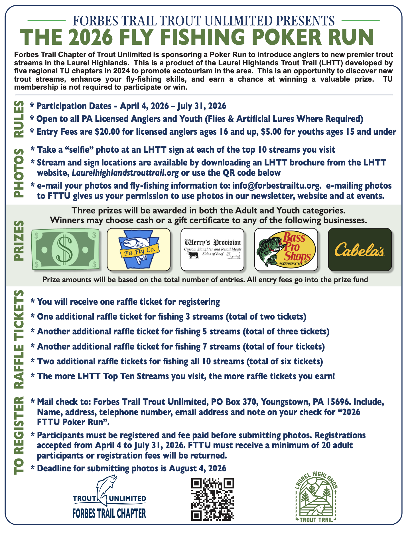
Forbes Trail Chapter of Trout Unlimited is sponsoring a Poker Run in an effort to introduce anglers to new premier trout streams in the Laurel Highlands. This is a product of the Laurel Highlands Trout Trail (LHTT) developed by five regional TU chapters in 2024 to promote ecotourism in the area. This is an opportunity to discover new trout streams, enhance your fly-fishing skills, and earn a chance at winning a valuable prize.
TU membership is not required to participate or win.
Rules:
Participation Dates - April 4, 2026 – July 31, 2026
Open to all PA Licensed Anglers and Youth (Flies & Artificial Lures Were Required)
Entry Fees are $20.00 for licensed anglers ages 16 and up, $5.00 for youths ages 15 and under
What You Can Win:
Three prizes will be awarded in both the Adult and Youth categories.
Winners may choose between cash or gift certificates to PA Fly Co., Werry’s Provision, Cabela’s or Bass Pro Shop
Photos:
Take a “selfie” photo at an LHTT sign at each of the top 10 streams you visit
Stream and sign locations are available by downloading an LHTT brochure from the LHTT
website, Laurelhighlandstrouttrail.org or use the QR code below
E-mail your photos and fly-fishing information to: info@forbestrailtu.org. e-mailing photos
to FTTU gives us your permission to use photos in newsletters and at events.
Raffle Tickets:
You will receive one raffle ticket for registering
One additional raffle ticket for fishing 3 streams (total of two tickets)
Another additional raffle ticket for fishing 5 streams (total of three tickets)
Another additional raffle ticket for fishing 7 streams (total of four tickets)
Two additional raffle tickets for fishing all 10 streams (total of six tickets)
The more LHTT Top Ten Streams you visit, the more raffle tickets you earn!
Registration
Mail check to: Forbes Trail Trout Unlimited, PO Box 370, Youngstown, PA 15696. Include,
Name, address, telephone number, email address and note on your check for “2025FTTU Poker Run”.
Participants must be registered and fee paid before submitting photos. Registrations accepted from April 4 to July 31, 2026.
Deadline for submitting photos is August 4, 2026
Download the registration form here.
Forbes Trail Trout Unlimited
ATTN: Fly Fishing Poker Run
P.O. Box 370
Youngstown, PA 15696FTTU must receive a minimum of 20 adult participants or registration fee will be returned.
Laurel Hill Trout Trail Sign Locations:
Laurel Hill – First sign is located at the parking lot close to Buck Run, which is the center of the DHALO section. From Rt. 31, follow Jimtown Rd. to Conestoga Camp Road to Buck Run Camp Road. ADA access area to stream is adjacent to parking lot. 40.016936, -79.237201
Second sign is the lower end of the DHALO section where the bridge crosses the upper end of Laurel Hill Lake. 40.008414, -79.232724
Dunbar Creek – First sign is within State Game Land No. 51. Along unpaved “Betty Knox” Road at Chestnut Ridge Chapter, Trout Unlimited memorial bench dedicated to deceased members. 39.9359, -79.5868
Second sign is also within State Game Land No. 51. At large unpaved game land parking lot at upstream “dead-end” of Betty Knox Road, also known as Tucker Run Road, immediately north of pipeline crossing of Dunbar Creek. 39.9323, -79.5881
Yough River – First sign is at the Yough Lake Overflow Campground near Confluence. Enter the campground and follow main road toward discharge from lake. Sign is near the ADA access fishing platform on large pool in front of dam. 39.802788, -79.368316
Second sign is within Ohiopyle State Park. Along Great Allegheny Passage bike trail, 100 yards upriver from trail gate at “middle” Youghiogheny River boaters’ downstream takeout parking lot. 39.8681, -79.4860
Meadow Run – First sign is within Ohiopyle State Park. In the parking lot for the “Natural Waterslides” on Meadow Run, on east side of Rte. 381, immediately south of the borough of Ohiopyle, at the intersection of Rte. 381 and Kentuck Road (SR 2019). 39.8621, -79.4948
Second sign is also within Ohiopyle State Park, at small paved parking lot at the “old park office,” now a ranger station. On east side of Dinner Bell Road, 0.3 miles south of Rte. 381 jct. and immediately south of Dinner Bell Road crossing of Meadow Run. 39.8514, -79.4991
Whites Creek – First sign is at bridge in Listonburg where Listonburg Road (Rt. 523) crosses stream. 39.754784, -79.313628
The second sign is upstream along Whites Creek Road at the Whites Creek Valley Natural Area parking lot 39.747177, -79.296575
Yellow Creek – First Sign is located in the parking lot of the the Ferrier Run Section of Yellow Creek. From Rt. 954 take Metz Rd, follow to Ferrier Run Rd. Follow Ferrier Run Rd all the way down to the parking lot. 40.5838763, - 79.0977062.
Second sign is located in the parking lot where Rt 954 crosses Yellow Creek. 40.5682997, - 79.1265171
Loyalhanna Creek – First sign is located at the trail head parking lot adjacent to Rt. 30 and across the highway from the Giant Eagle store. 40.246054, -79.245611
Second sign is adjacent to Rt. 30 westbound lanes at causeway across the stream from the old Sleepy Hollow Inn. 40.286471, -79.319962
Clear Shade Creek - We do not have the LHTT signs installed yet for this stream. Until further notice, the landmark that participants in the Poker Run will use in their photos will be the water tank along Windber Area Authority access road. Follow SR 160 south from Windber ~5 miles then turn left onto WAA access road. The tank is ~ 2 miles on the left. Lat. N 40 10 13.463 (40.17040663) Long W 78 44 45.746 (78.74604083)
Indian Creek – First sign is at Blair Brothers Railroad Trailhead parking lot at lower end of DHALO section where Rt. 381 crosses stream. 40.089359, -79.335655
Second sign is at the upper end of the DHALO section off Rt. 381 at intersection of Hunters Lane and Blair Brothers Railroad Trail. 40.105456, -79.323380
Stoneycreek River –Glessner Covered Bridge. Follow Lambertville Road (SR1007) north out of Shanksville ~ 1 mile then turn left onto Covered Bridge Road. The Covered Bridge is approximately ½ mile. 40.02710, -78.92053


